Arctic Aerial Images Encouraging & Awe Inspiring
Mario Tama photographed these breathless Arctic photos from a Lockheed P-3 accompanying a NASA crew carrying out Operation Icebridge, an operation initiated to measure Earth’s glaciers and ice sheets. The stillness, colors and textures of the Arctic landscape left Tama speechless.
“It’s such an unexpected landscape,” he says. “It felt like we were flying over a different planet.”
NASA spends 10 weeks each spring in the Arctic when the ice levels are at their highest using a pair of laser altimeters to record ice elevation and three types of radars to measure snow – one of which reaches 300 feet down to bedrock. Flying shifts of up to 12 hours, the crew surveyed hundreds of miles of coastline along Ellesmere Island in Canada and Greenland. While researchers focused on computer screens, Tama focused his camera on a landscape without scale.
“I was looking at shapes and features that I had never seen in my life,” Tama says. “We’d drop through the clouds or take a turn into a valley, and I’d be sitting there trying to process, what am I looking at?”
Last year the National Snow and Ice Data Center NASA and operation IceBridge announced the lowest ice levels for the Arctic and Antarctic in the past 38 years.
“Changes in Arctic sea ice is seen as one of the primary indicators of climate change,” says Nathan Kurtz, project scientist for Operation IceBridge. “It’s been changing so rapidly—the Arctic has been changing and warming. What we’re trying to do is get a sense of what’s driving some of the bigger changes that we’re seeing.”
Tama’s stunning images remind us all of the majestic beauty of the north that is in jeopardy due to global warming!
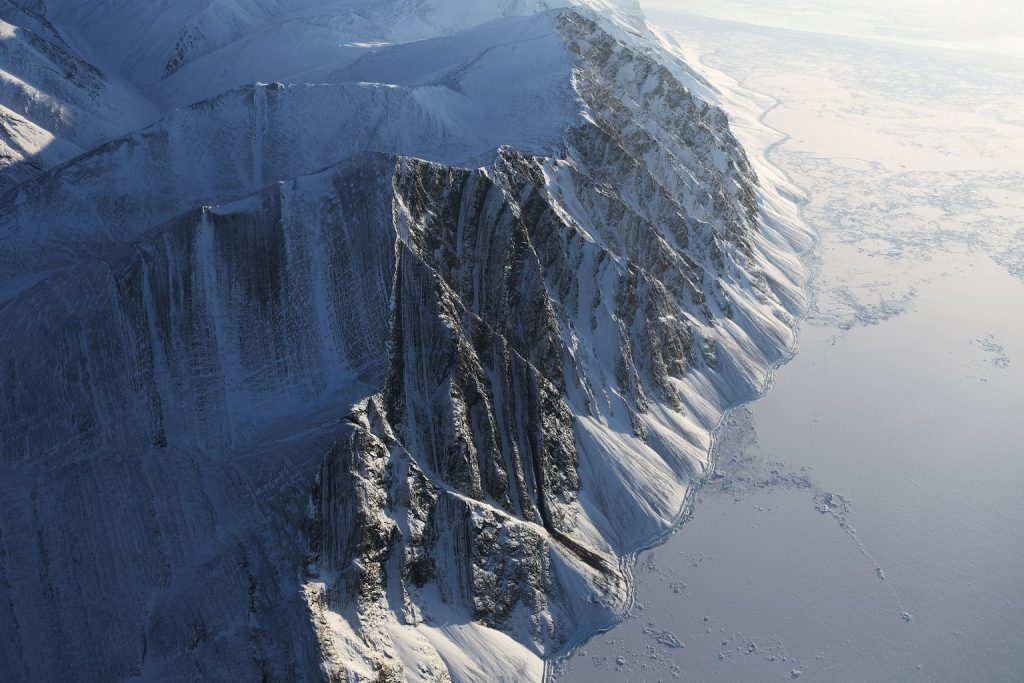
Ellesmere Island ice field. NASA photo.
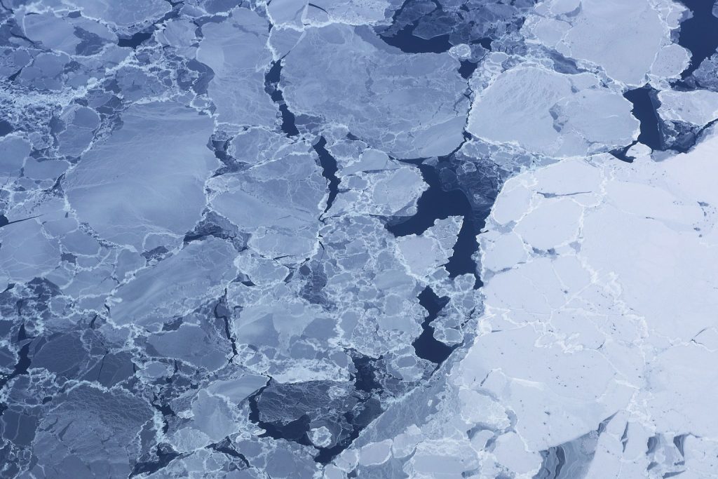
Ice pack near Ellesmere Island. NASA photo.
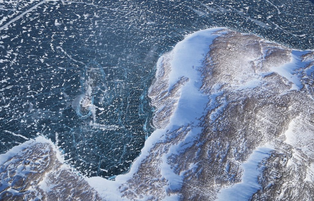
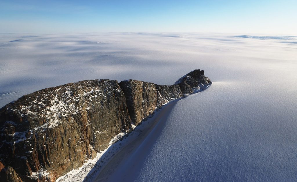
Ice along the Baffin Island coast Greenland. NASA photo.

NASA avionics technician surveys the Arctic landscape. NASA photo.
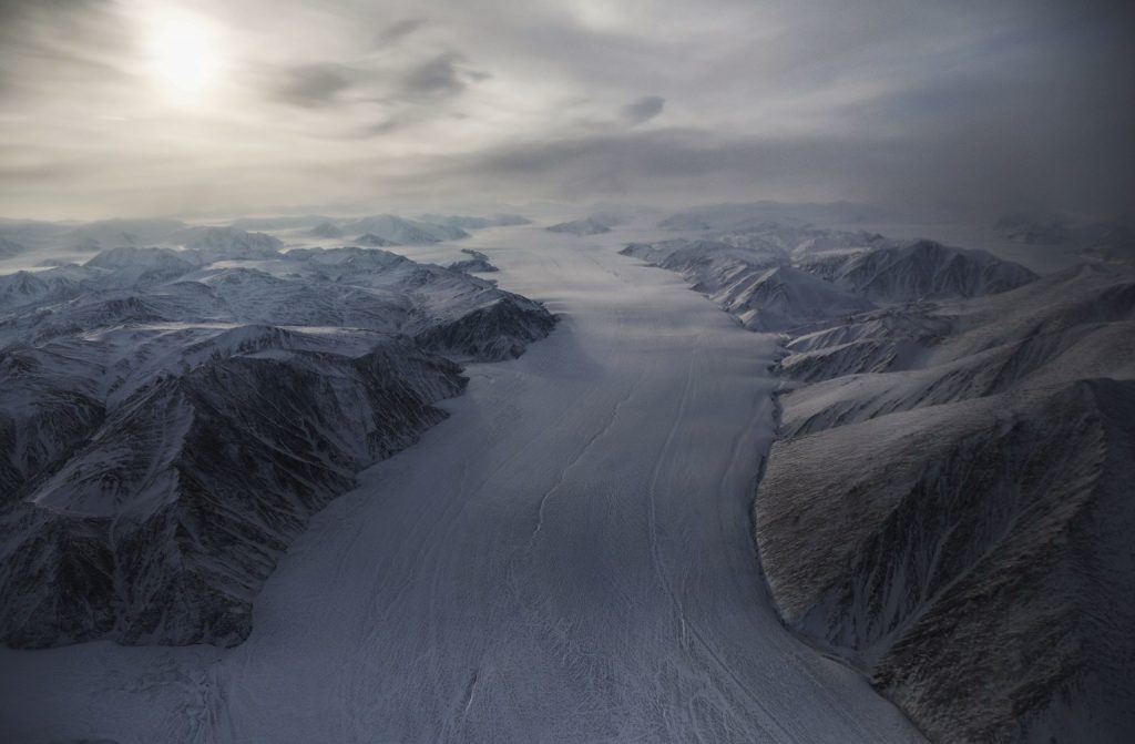
Glacier on Ellesmere Island. NASA photo.
Baffin coast ice field Greenland. NASA photo.